
NEED HELP OR CAN’T FIND WHAT YOU ARE LOOKING FOR?
Residential Development Properties


Land North Of B4082 Upton Snodsbury, Worcestershire, WR7 4NR
On Application: POA
Property Features
- Outline Planning Permission for up to 63 no. units
- For sale via informal tender, With a bid deadline of Noon on Thursday 22nd October 2026
- Approximately 16.62 acres (6.73 ha)
Full Details
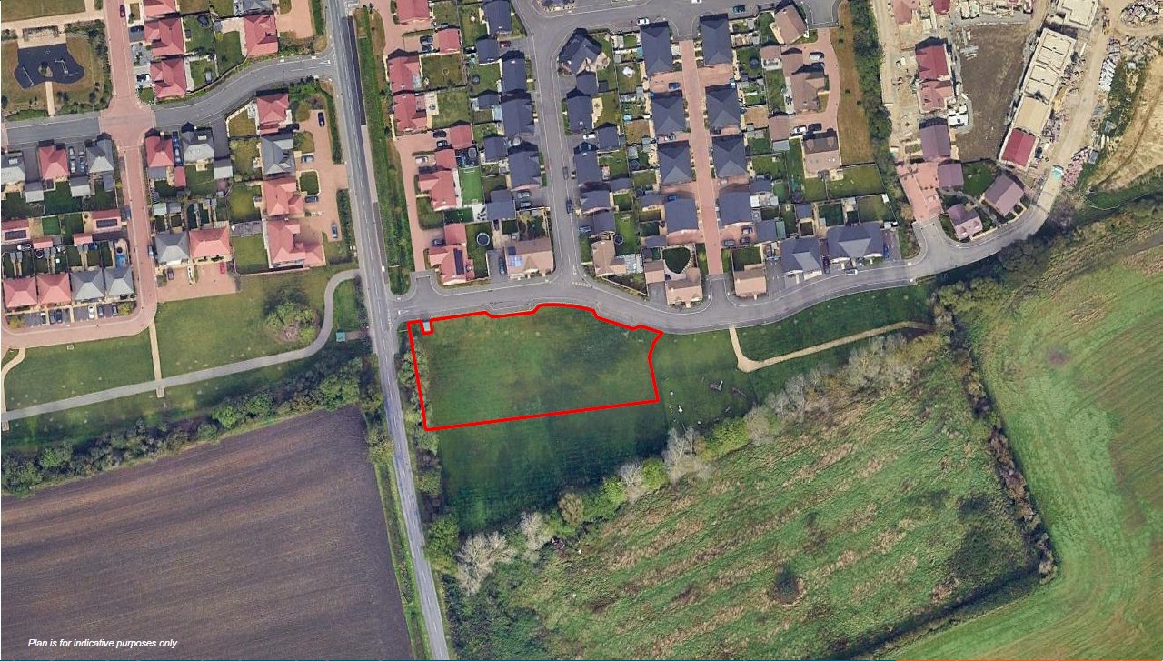
The application site extends to approximately 16.62 acres (6.73 ha) and comprises a single, broadly rectangular parcel of arable farmland. The site is bounded by the B4082 to the south, a small number of residential properties to the west, and established native hedgerows, interspersed with mature trees, along the northern and eastern boundaries. To the southeast, the site is bounded by a drainage ditch and an area of Severn Trent Water hardstanding.
Vehicular access is provided via an established agricultural entrance onto the B4082. There are no public rights of way crossing the site
Location
The site is located on the southeastern edge of the desirable village of Upton Snodsbury approximately 6 miles east of the cathedral city of Worcester, within the Wychavon District of Worcestershire. The site is conveniently located within close proximity of major road networks to include the B4082 Pershore Road, a
key local distributor route providing access to Worcester (west) and Pershore (south east). Junction 6 of the M5 motorway is within easy distance of the site situated some 5 miles west connecting the site to Gloucester and Birmingham.
Worcester City Centre is located approximately 6 miles to the west of the site. It provides a range of amenities to include supermarkets, restaurants, leisure facilities and educational facilities. Worcestershire Parkway Train Station and Worcester Shrub Hill Station provide regular Great Western Railway Services operating between Cardiff, Bristol, Edinburgh, London Paddington and Hereford. The nearby 149 and X50 bus services provide regular services connecting to Worcester, Redditch, Evesham and Pershore.
Services
The application is supported by a Flood Risk Assessment (FRA). The proposed built development is located within Flood Zone 1. Foul water is proposed to discharge to the existing public foul sewer running along the sites southern edge. It is understood that a pre-development enquiry has been submitted to Severn Trent Water.
Planning
The subject site is located within the planning jurisdiction of Wychavon District Council. Planning Policy for the site is set out in the South Worcestershire Development Plan Review (SWDPR) 2026, adopted March 2026.
The site's pertinent planning history is outlined below:
W/23/02447/SCR - Request for Screening Opinion under Part 2 (6) of the Town and Country Planning (Environmental Impact Assessment) Regulations
2017 (as amended) for 76 dwellings with access from the B4042 through its southern boundary. - EIA not required 22/03/2024
W/24/01103/OUT- Development comprising up to 63 dwellings with open space, green infrastructure and surface water drainage system. All matters of layout, scale, appearance and landscape will be reserved for future determination. - Refused 07/03/2025.
APP/H1840/W/25/3373051- Appeal under section 78 of the Town and Country Planning Act 1990 relating to the Outline application for the development of up to 63 dwellings. Approved 23rd June 2026
An illustrative masterplan shows a proposed residential development of 63 dwellings providing a range of sizes and house types. It is anticipated that the predominant mix would be 2, 3 and 4 bed dwellings with some 1 bed dwellings. In terms of scale, the proposed development is based on each dwelling
being two-storeys in height. The proposed concept builds upon the existing landscape and topographic characteristics of the site.
The Illustrative Layout Plan shows a central area of Public Open Space extending to c. 0.8 ha. The development density equates to 30 dwellings per hectare net (excluding open space).
Primary vehicular access will be provided via Pershore Road through the southern boundary. Secondary roads are to spur off the principle route and serve dwellings that front onto the eastern and southern boundaries. A pedestrian / cycle access is proposed in the southwestern corner.
Terms
The site is offered for sale by way of informal tender. Offers are invited on an unconditional basis.
Offers should be submitted in accordance with the 'Financial Proposal Form' contained within the Data Room and be received by Bruton Knowles prior to Noon on Thursday 22nd October 2026.
Offers should be sent via email to Harry Breakwell: [email protected]
A 'Data Room' has been prepared that provides detailed technical and planning information. For access, please email: [email protected]
Legal Costs
The purchaser is to provide an undertaking of £10,000 + VAT towards the vendor's abortive legal fees. The site is registered under the Freehold Title WR143497.
Viewing
Viewing of the site is by appointment only with Bruton Knowles.
VAT
The landowner retains the right to opt to tax.
These particulars are intended as a general guide only and do not constitute any part of an offer or contract. All descriptions, dimensions, references to condition and necessary permissions for use and occupation, and other details are given without responsibility. Intending purchasers or tenants should satisfy themselves as to the accuracy of all statements and representations before entering into any agreement. No employee or partner of Bruton Knowles has authority to make or give any representation or warranty in relation to the property
Land North Of B4082 Upton Snodsbury, Worcestershire, WR7 4NR
Unit/Size 16.62 acres / 6.73 hectares
Types Residential Development, Development
Tenure Freehold
Code 12491


Related Properties
 FOR SALE
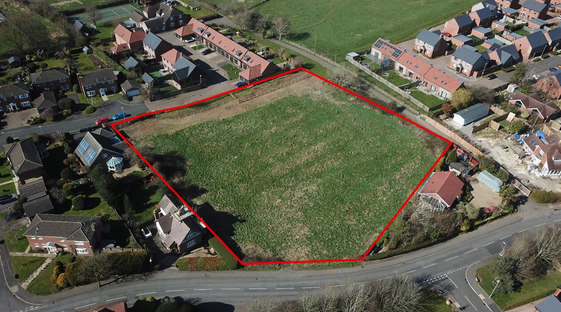
Parcel A - Hempsted Lane Hempsted, Gloucester, GL2 5JT
Code 12473
1.4 acres
 FOR SALE
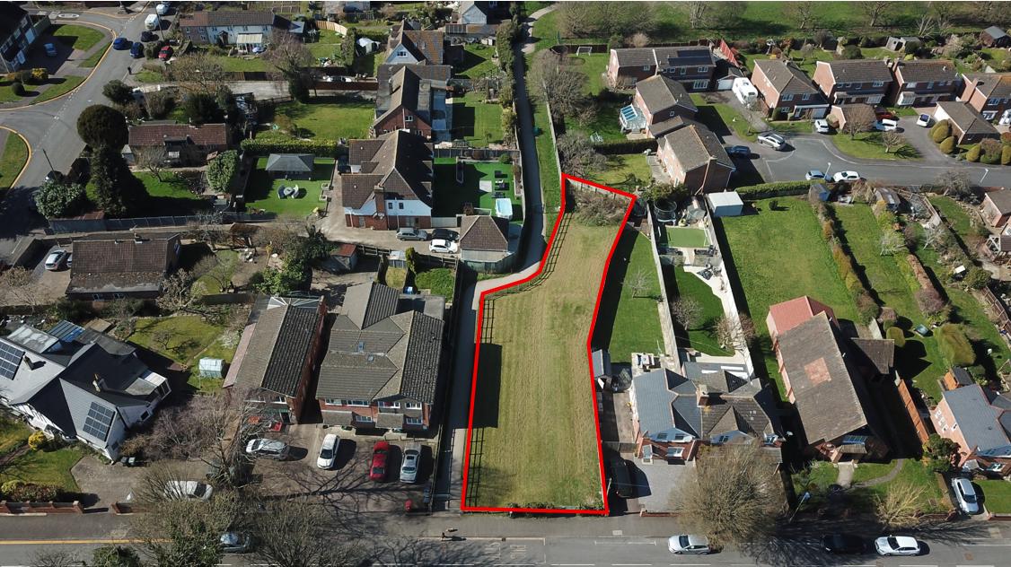
Parcel B - Hempsted Lane Hempsted, Gloucester, GL2 5JT
Code 12474
0.18 acres
 FOR PROMOTION ONLY
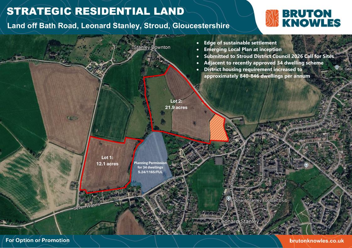
Lot 1 - Land Off Bath Road Leonard Stanley, Stroud, Gloucestershire
Code 12476
12.1 acres
 FOR PROMOTION ONLY
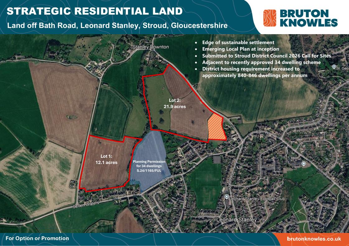
Lot 2 - Land Off Bath Road Leonard Stanley, Stroud, Gloucestershire
Code 12477
29.1 acres
 FOR SALE
Land To The East Of New Road, Weston Turville, HP22 5ZD
Code 12470
0.7 acres
 FOR SALE
Land Off Wyre Road, Pershore, Worcestershire, WR10 2BX
Code 12469
4.84 acres