NEED HELP OR CAN’T FIND WHAT YOU ARE LOOKING FOR?
Development Properties


Strategic Land South Of Lenthay Road, Sherborne , Dorset, DT9 6AQ
POA
Property Features
- The site extends to approximately 4.25 acres (1.72 ha).
- The site is available for promotion via an Option or Promotion agreement.
- Offers should be sent to Bruton Knowles via email to Jack Moulsdale: [email protected]
Full Details
The site extends to approximately 4.25 acres (1.72 ha) of grassland belonging to the Sherborne School. Access to the site is via a retained access between existing residential properties, 125 and 127 Lenthay Road. The site also comprises an area of verge land which runs along the frontage of 123, 125, 127 and 129 Lenthay Road to support a poential visibility splay. The site sits to the rear of a row of detached houses along Lenthay Road, with the main school playing fields immediately adjoining the site to the north east. Beyond the south eastern corner of the site is a small copse which backs onto the railway line. To the south of the site is a paddock which is accessed via a track from Lenthay Road, beyond which is Sherborne Abbey Primary School.
Location
The site, accessed via Lenthay Road, is located on the south western edge of the market town of Sherborne, Dorset. The site is a short walk away from the town centre, which offers a range of services and amenities, including Sherborne School, Yeatman Hospital, a range of shops, public houses, and supermarket. Sherborne station is located approximately 1.1 miles to the north east of the site offering regular services to Yeovil, Exeter St Davids and London Waterloo.
Planning
The subject site is located within the planning jurisdiction of Dorset Council where existing planning policy is covered by the West Dorset, Weymouth and Portland Local Plan which was adopted by Weymouth & Portland Borough Council and West Dorset District Council in 2015.
Until 2019, a Local Plan Review was being prepared, however the evidence generated was then fed to Dorset Council's new Local Plan. Dorset Council ran a Local Plan Options Consultation (from 18th August to 13th October 2025) to respond to the Government's commitment to addressing the shortage of housing, to enable economic growth and deliver essential infrastructure to enable this growth.
As part of Dorset Council's Local Plan Options Consultation, it is required to identify development opportunities to help meet the needs of Dorset, therefore a list of opportunity sites have been appended to the consultation.
This site was included within the Appendix A: Opportunity sites for housing August 2025, with a site name of 'Land to the south of Lenthay Road' and a site reference of LA/SHER/006,008.
The majority of development in Sherborne is likely to be on a long-term major strategic site which will require significant infrastructure. Therefore this site offers the opportunity to submit an application and secure a consent in isolation.
Strategic Housing Land Availability Assessments
Whilst somewhat historic, Dorset Council's Strategic Housing and Economic Land Availability Assessment 2018 concluded that the site was developable subject to policy change, a suitable solution for access and for pressure on adjacent primary school.
Planning Policy
The verge land and the access route into the site are located within the defined settlement boundary for Sherborne, however the remainder of the site lies outside of, but adjacent to, the settlement boundary.
Under SUS2 Distribution of Development, Sherborne is referenced as one of the market and coastal towns which will be a focus for future development. The recent emerging policy sets out more clearly as to the position of each town and village in the different 'Tiers' of the hierarchy in which Sherborne is classified as a 'Tier 2 - town and other main settlement' which comprises the market and coastal towns across Dorset and 'other main settlements' within the Green Belt and close to the large built-up area of Bournemouth, Christchurch and Poole.
Housing Land Supply
According to Dorset Council's 5 year housing land supply position statement October 2025, the Council can only demonstrate a supply of 2.53 years.
Designations
Within the West Dorset, Weymouth & Portland Local Plan 2015 the site is marked under policy ENV3 Green Infrastructure Network.
Terms
The site is available for promotion via an Option or Promotion agreement and parties are invited to submit terms as follows:
Type of agreement (Option/Promotion).
Percentage - discount/share of proceeds
Premium payment(s) to landowners
Term(s) of agreement/Longstop
Any deductible costs and cost caps
Minimum price per gross acre
Planning & access strategy
Confirmation of payment of landowner's professional fees (including agent & legal)
Offers should be sent to Bruton Knowles via email to Jack Moulsdale: [email protected]
These particulars are intended as a general guide only and do not constitute any part of an offer or contract. All descriptions, dimensions, references to condition and necessary permissions for use and occupation, and other details are given without responsibility. Intending purchasers or tenants should satisfy themselves as to the accuracy of all statements and representations before entering into any agreement. No employee or partner of Bruton Knowles has authority to make or give any representation or warranty in relation to the property
Strategic Land South Of Lenthay Road, Sherborne , Dorset, DT9 6AQ
Unit/Size 4.25 acres / 1.72 hectares
Types Development, Strategic Land
Tenure Freehold
Code 12371


Related Properties
 FOR SALE
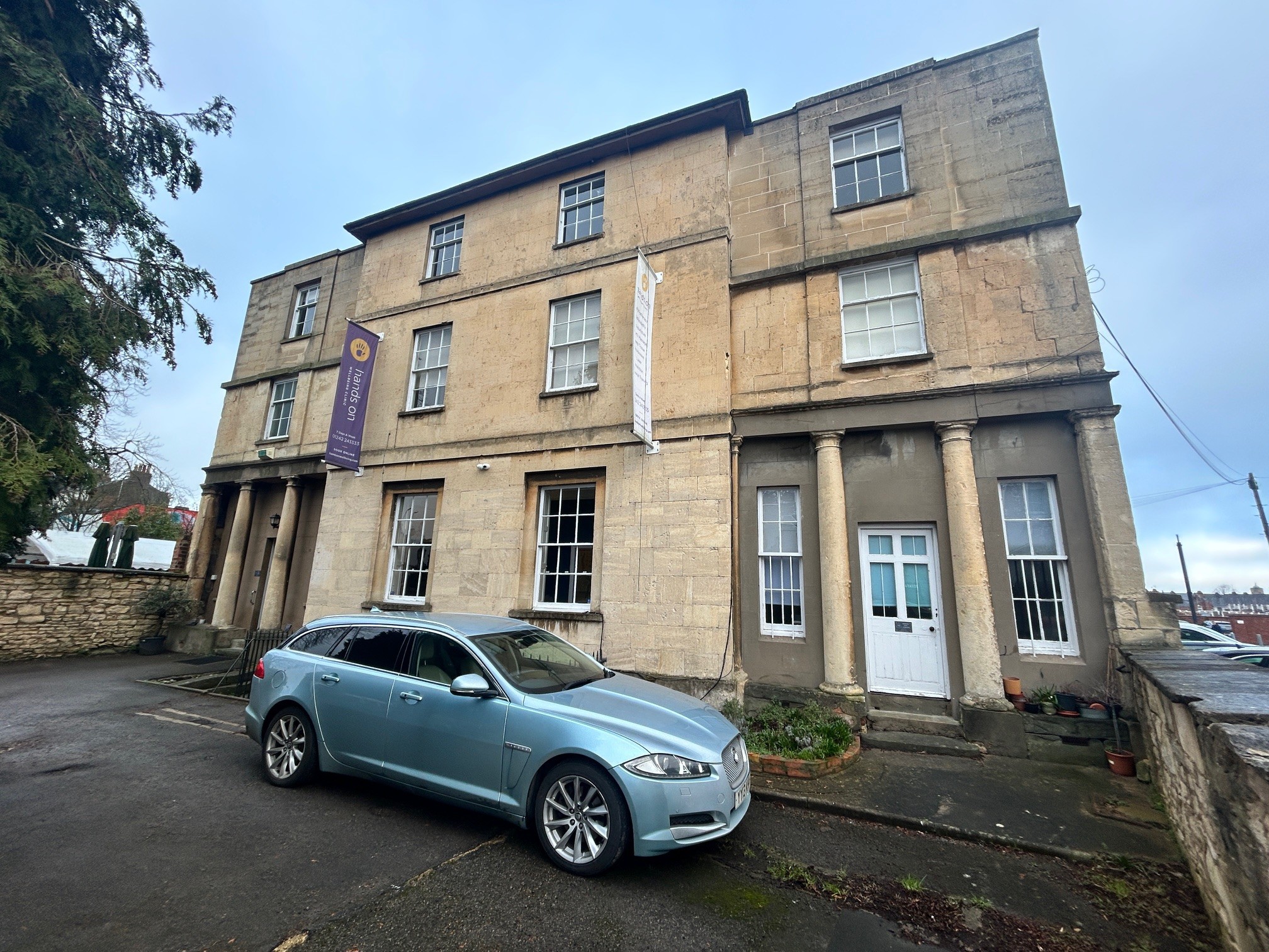
32 Portland Street, Cheltenham, Gloucestershire, GL52 2PB
Code 12370
1841 Sq Ft
 TO LET
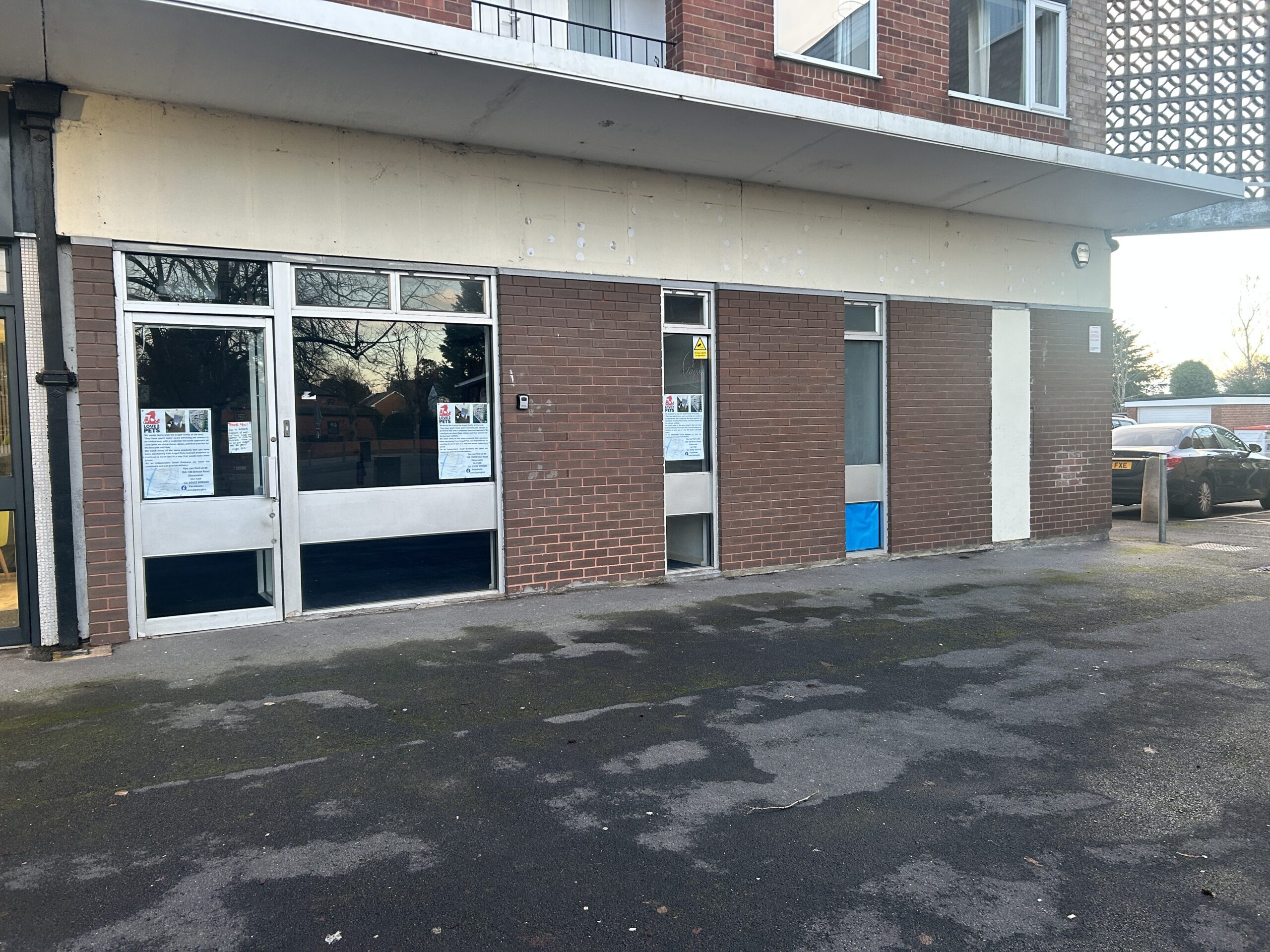
2-3 Glenville Parade, Hucclecote, Gloucester, Gloucestershire, GL3 3ES
Code 12369
1661 Sq Ft
 TO LET
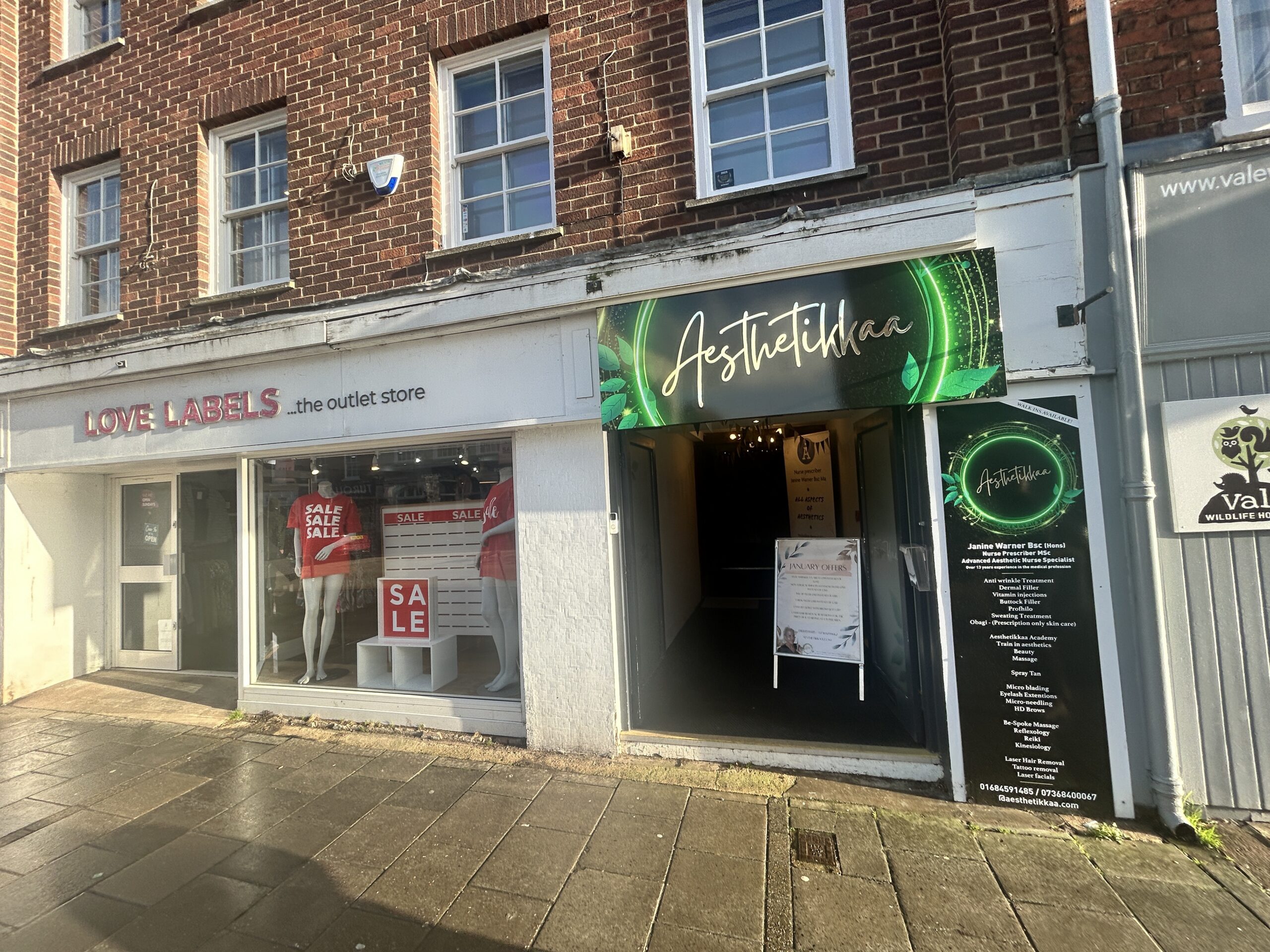
103 High Street, Tewkesbury, Gloucestershire, GL20 5JZ
Code 12367
1005 Sq Ft
 FOR SALE
Land At Canon Bridge, Madley, Hereford, Herefordshire, HR2 9JF
Code 12368
1.5 acres
 FOR SALE
Land At Munderfield, Munderfield, Bromyard, Herefordshire, HR7 4JU
Code 12363
1.33 acres
 FOR SALE
Fretherne Nurseries Fretherne, Saul, Gloucester, Gloucestershire, GL2 7JF
Code 12364
9.1 acres